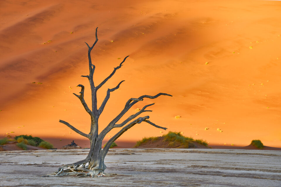
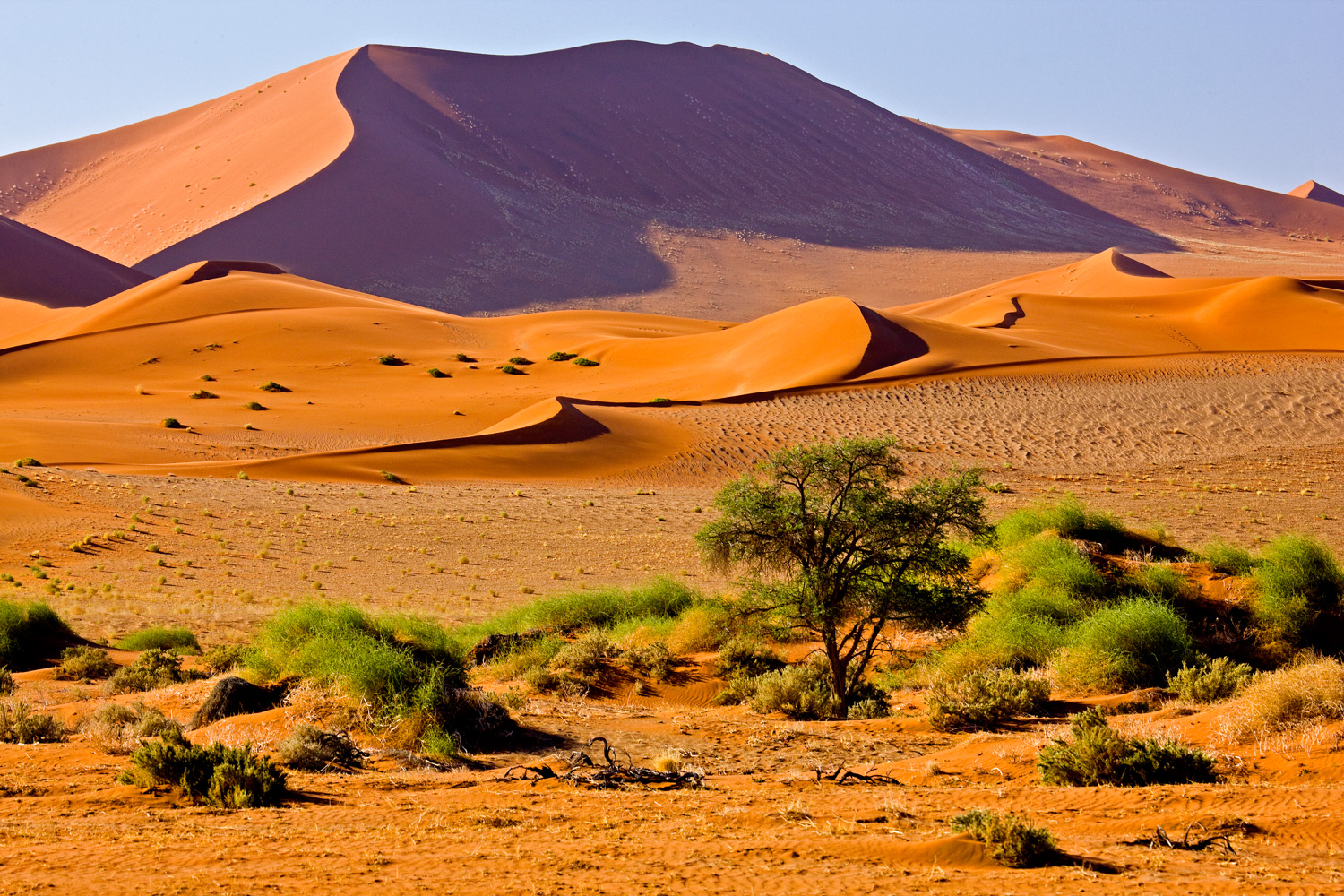
Namibia is one of the most rugged countries in the world. Full of rocky outcroppings and sand, Namibia is a very dry country. It receives just over 10 inches of rain per year (on average, across the country). The Namib desert, a significant focus for our tour, experiences rainfall about once every seven years. Instead, its sparse precipitation comes in the form of fog that often blankets the coastal dunes and has led to hundreds of shipwrecks, giving the coastline it’s famous “skeleton coast” moniker.
While temperatures across the country vary significantly, our tour generally enjoys warm to hot weather. Almost every day is sunny. But much of Namibia is desert, which can mean cold nights and cool mornings–a reality that greats our first day on tour when the thermometer plunges to 30F (-1C) overnight. Fortunately, JVO tour members are advised to bring warm clothing!
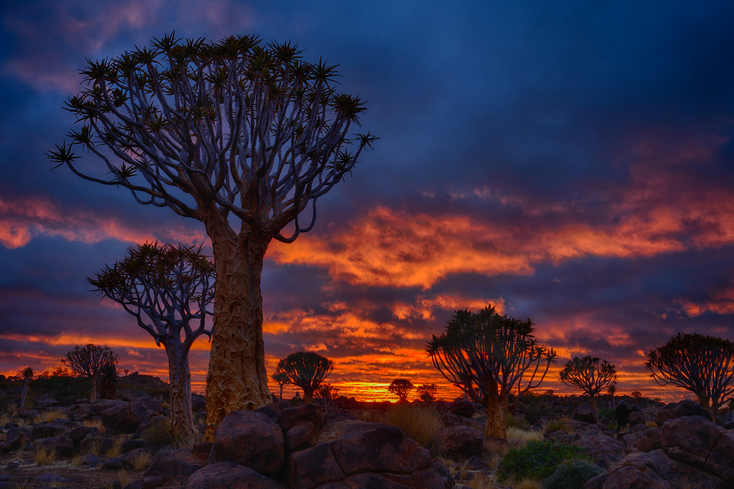
The cold weather follows us along the first half of the tour, from the odd quivertree forest, though Luderitz and Sossusvlei, all the way to Swakopmund, Namibia’s pretty coastal town. Although we need to bundle up, the cold, dry air makes for fabulous landscape images. First, we focus on composing sunset, night and sunrise photographs featuring the dramatic shapes of the quivertrees.
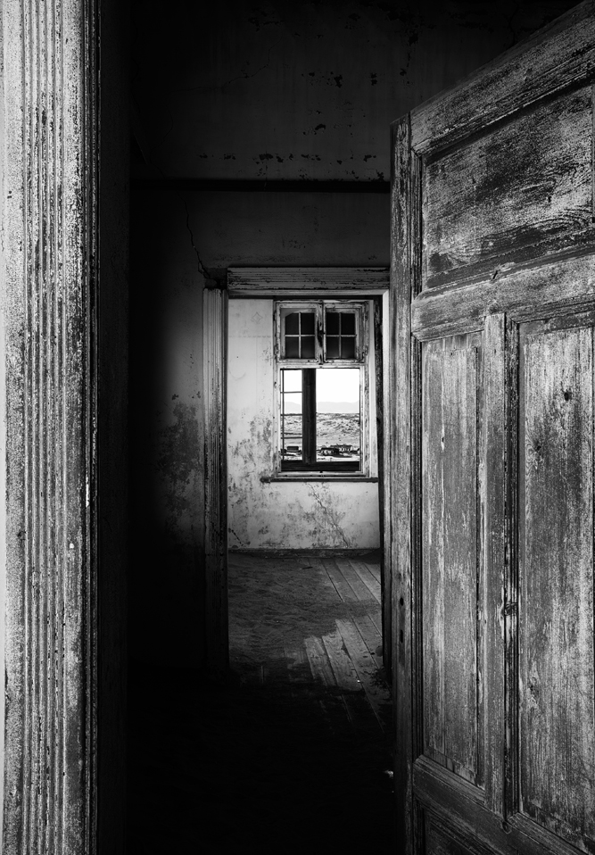
Our next stop provides one of the best composition challenges I know of: making sense of the sand and broken shapes of the ghost town at Kolmanskop. As we clamber in and out of the 60-odd buildings, it is easy to visualize an active community here a century ago, when German miners enjoyed a rich life while pulling diamonds from the sand. But today the ruins pose a challenge to our cameras: how to position the dangling doors, cracked windows, dark shadows and brilliant sunlight slatting through shattered ceilings into a photograph that adequately tells a story or evokes an emotion. Our group spends over six hours on site (in two sessions) and the result of their work is remarkable–every photographer “sees” the site a little differently.
Our first foray into the dunes at Sossusvlei is cold! But as the sun peaks over the eastern dunes, the sky turns a vivid blue and the dunes light up in bright colors of red, orange, and yellow, contrasting sharply with dark shadows on the other side of the dune’s knife edge ridges. We explore world famous Deadvlei, walk along Big Daddy, the tallest sand dune in the world, then find new compositions at other dunes along the way. By mid-afternoon, a few of us venture forth in traditional Namibia tour clothing (shorts, t-shirts, and flip-flops), but sweaters are close at hand as we watch the sky turn a brilliant orange when the sun sets.

After two days of photographing the dunes from the ground, there is still time to experiment with a little aerial photography, from a small helicopter with the doors removed (an optional activity, not included in the regular tour fee). An hour-long flight just before sunset takes us over all the famous dunes. For many of our tour members, the helicopter flight, and the unique photographs it enables, is a real highlight.
From Sossusvlei we fly on a small fixed-wing plane along the coast to Swakopmund, enjoying dramatic views of towering dunes that slope right into the sea, plus old shipwrecks and abandoned diamond camps.
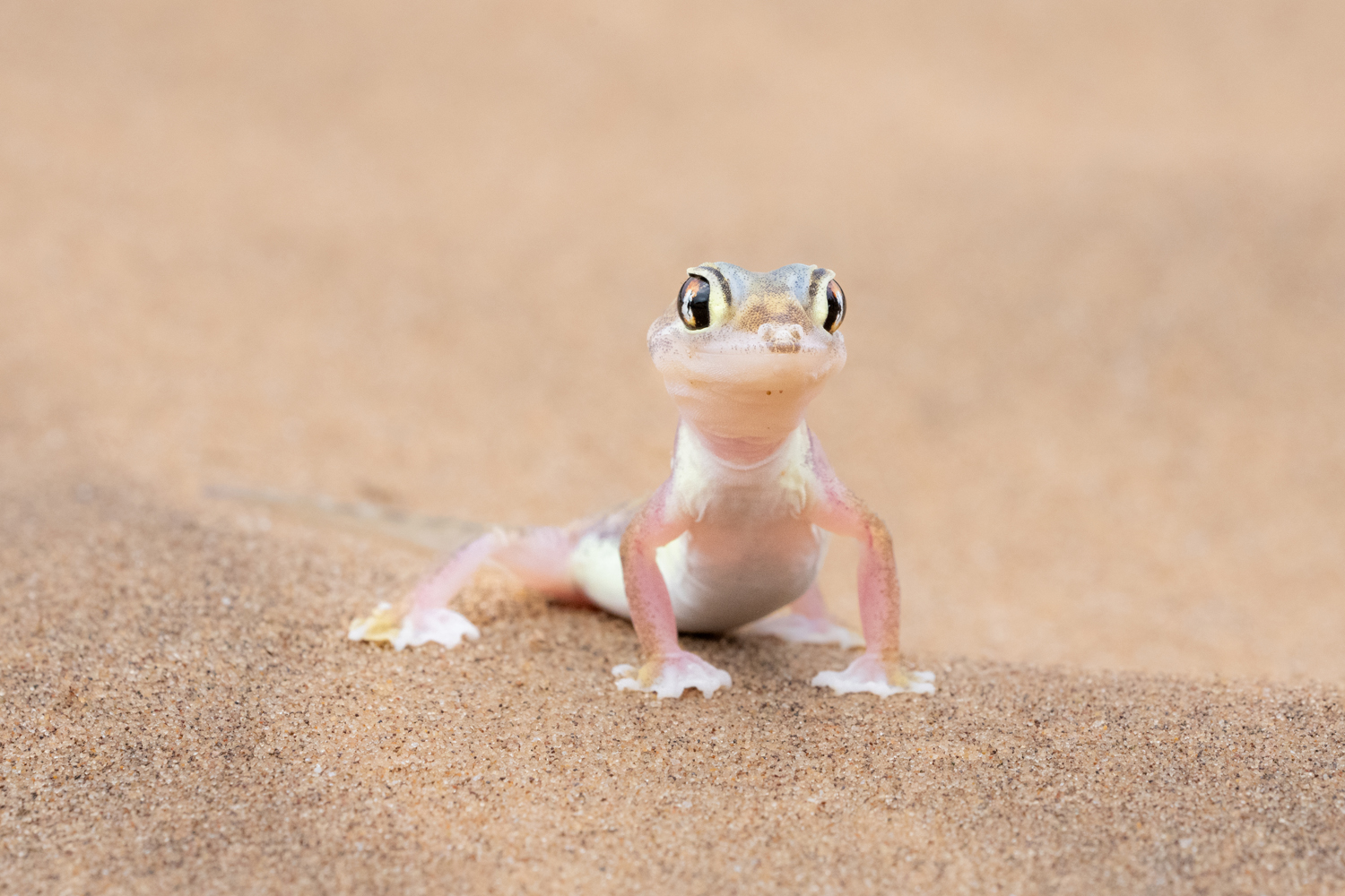
Our desert tour near Swakopmund features bright skies and graceful dunes, but the morning cold proves too much for several of the desert inhabitants that we traditionally find here. Despite the cold, we photograph translucent desert geckos, a legless skink, and a shivering chameleon. The dunes, of course, are spectacular.
The second half of our tour focusses on wildlife. We spend five days exploring Namibia’s massive Etosha National Park, including 3 nights at the famous Okaukuejo waterhole, where rhinos, elephants, giraffes, and many other animals gather every day and night. On our first night we capture 8 rhinos circling the water, including a mother and youngster. The rhinos are endlessly entertaining, huffing, and mock charging at each other, then lapsing into silence, apparently contemplating their reflections in the dark waters.
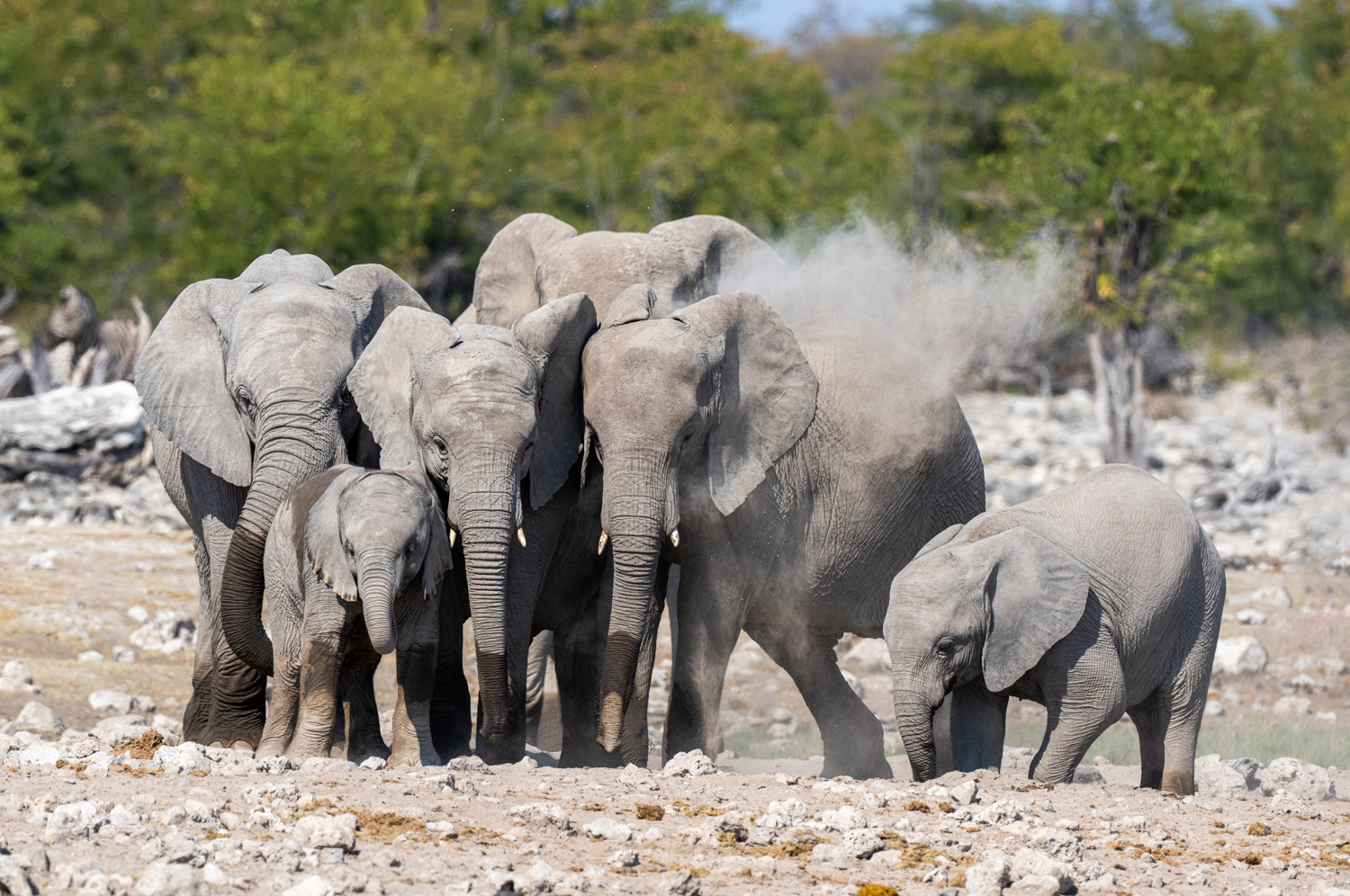
This year seems to be the year of the elephant. In the eastern section of Etosha, we encounter dozens of elephants in several settings. One day a large herd, numbering about 60 animals, invades and occupies a large waterhole. For well over an hour, we watch (and photograph!) young males challenging each other, younger elephants rolling in the mud, and older females standing stolidly, occasionally flicking showers of sand over their backs.
One baby elephant easily wins the entertainer of the tour award as he plays amongst the legs of the massive matriarch. He rolls, wallows, tries to stand on his head, challenges juveniles many times his size, and in every way is absolutely adorable.
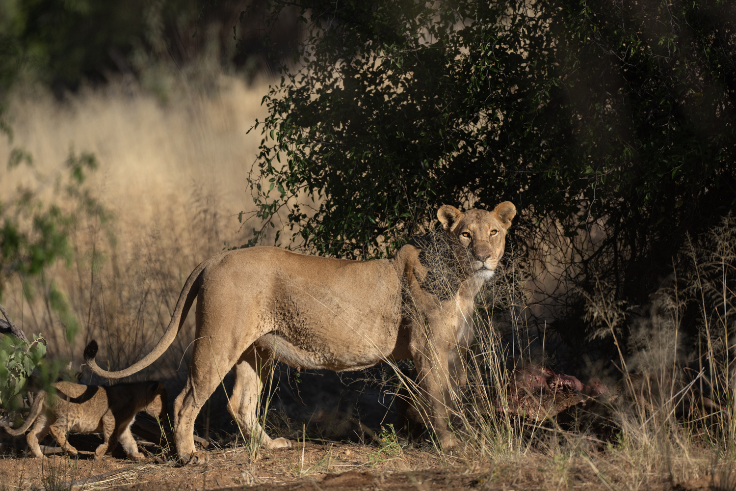
Our final two shoots of the tour occur at Erindi Private Game Reserve, a 170,000-acre plot located in Namibia’s central savannah. As the sun dips behind golden hills, we find a mother cheetah and her four cubs. Early the next morning we photograph a small pride of lions–a big male, two females, and 8 cubs! It’s a great wrap to a wonderful tour.
