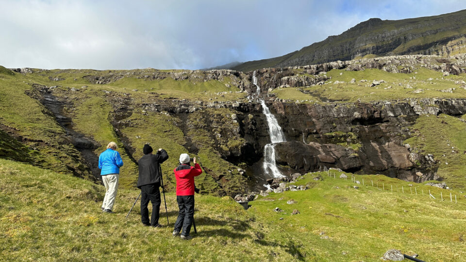
One day in the 9th century, a courageous band of Vikings drifted into a collection of rugged islands with verdant, sweeping slopes and angular peaks truncated by thousand-foot cliffs, as if cut by the deft swing of a giant axe. On the one hand, I imagine they would have been elated by the sight of any type of land, given the brutality of the North Atlantic weather and ocean currents. On the other hand, I wonder if they were hoping for a softer place to beach their creaky boats and bones.
Today, explorers of the Faroe Islands arrive more by choice than happenstance, equipped with warm, waterproof clothing and trusty footwear. But even when you’re outfitted with the latest and greatest, this is the kind of place where the elements still soak into you. The weather here is both omnipotent and omnipresent, permeating every aspect of your experience, your memories, and your images. The key to success in the Faroes is to take your preparations seriously. Once enrobed in your personal GoreTex cocoon, the sky is the limit with creating images with impact.
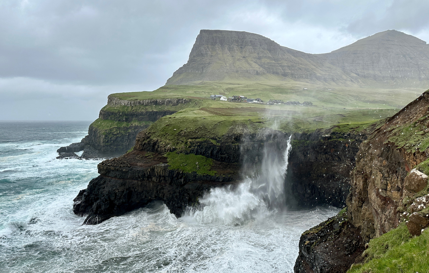
The Faroe Islands are in the crosshairs of North Atlantic Ocean and air currents, resulting in very dynamic weather conditions that dictate your every move. Even though the temperatures are quite consistent, the wind, fog, rain, and multiple cloud layers can be different from minute to minute and from one fjord to another. But once overall weather trends and microclimates are identified, it’s possible to navigate around the worst of the weather and into the best. But ironically, the best weather for photography is often “bad” weather!
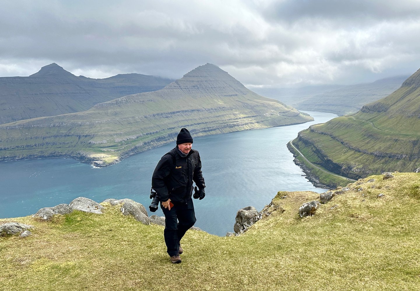
So yes—the adage that bad weather makes for good photography is proven every day in the Faroes. If you’re a fair-weather kind of photographer, you’ll certainly be challenged, but also handsomely rewarded if you put in the effort. Think of it this way—catching a chill is temporary whereas capturing powerful images is permanent. And once you’re safely in a cozy place, perhaps in an iconic Faroese hand knit wool sweater, you can’t help but feel the elements in your soul once more.
The mood of the Faroes’ atmosphere is captivating. Rain showers and fog can add depth, density, and mystery while low, swift-moving clouds and patches of clear air allow fleeting spotlights of sun to beam down on emerald slopes, crashing waves and glistening rocks. My memories of the Faroes are all so vivid because you can’t help but be in the moment at every minute. The elements command your full attention and stay with you long after you’re gone.
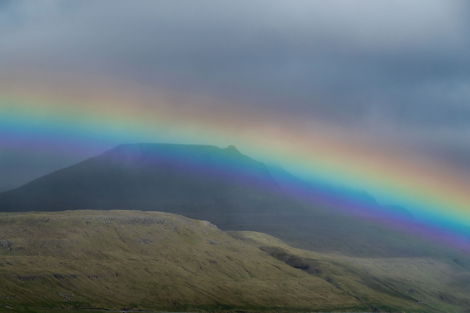
The experience of simply being in the Faroes is quite entertaining whether you have a camera in your hands or not. One minute you’re mesmerized by a sunbeam gracing the hills, the next you’re being assaulted by horizontal rain and a burst of wind, then you find yourself standing in awe of a rainbow that won’t quit. Along this meteorological rollercoaster, the locals carry on like nothing is happening. I’m convinced that babies are born there with lambswool beanies already fitted on their little heads.
Along with the wonderful subject material, the scale of the islands is nearly perfect for a week-long photo tour. From our comfortable, modern hotel on the hill above Torshavn, we can access nearly every location within a reasonable time, thanks to a network of well-maintained roads and tunnels that pass below the fjords. You read that right—the tunnels go under the fjords, as well as through mountains.
Thankfully, the Faroe Islands are yet to be fully discovered by the masses. Despite the tourism bureau’s best efforts to promote the pristine environment, unique culture and history, busloads of tourists are still not nearly as common as places like Iceland or any of our national parks. In many places we hardly came across another car, and hardly ever shared a location with another group of photographers.
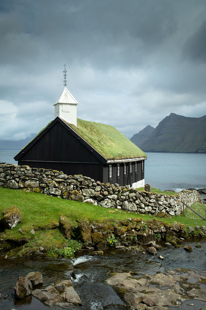
Although the dramatic landscapes are our primary subject material, we also turned our lenses toward colorful villages, churches, farms, and lush pastures with old, moss-covered stone walls. In Torshavn, the capital city of roughly 25,000 residents, the picturesque harbor provided wonderful opportunities for vignettes, abstracts, reflections, and details. Sod roof houses, stone barns and wooden boat houses bestowed even more opportunities for unique travel images.
One of my favorite locations we typically visit during the week is Suduroy, (South Island in English). Located about 20 miles south of the main archipelago, Suduroy is even less populated and visited, and has some of the most dramatic, drive-up locations. Although the journey requires a 2-hour ferry ride each way, a full day spent on this enchanting island is always worth it. I always tell people to wear 2 pairs of socks to Suduroy because the views will blow their socks off!
If you find yourself drawn to places like Scotland, Iceland and the Alps, the Faroe Islands is a must-go location. It’s certainly one of the most photogenic locations on the planet, as well as being simply memorable and breathtaking. Furthermore, with a comfortable itinerary, a single upscale base hotel for the entire week, wonderful food and kind genuine locals, the Faroe Islands tour may become one of your all-time favorites.
